
Topographic Survey
Service
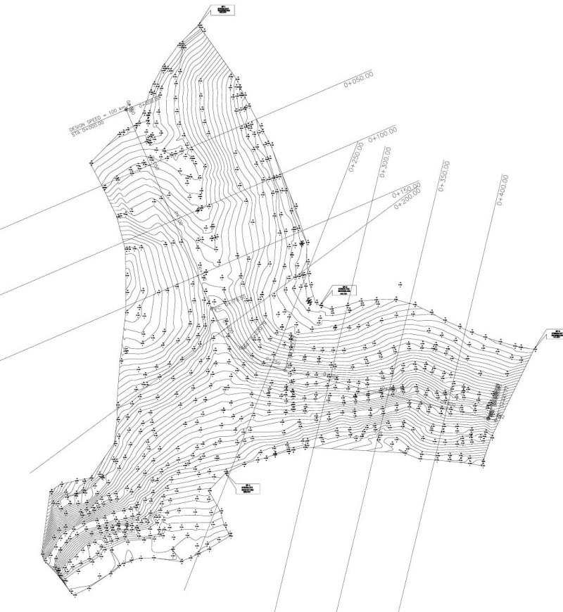

Starting a new construction, land development, or civil engineering project? Every successful blueprint begins with an accurate map. Our professional topographic surveys give you a complete, detailed picture of your land's elevations, contours, and natural features.
Why You Need a Topographic Survey
- Precise Design Data: Give your architects and engineers exact measurements to plan roads, drainage, and buildings.
- Avoid Costly Mistakes: Identify slope issues, boundary constraints, and elevation changes early.
- Smooth Permitting: Meet all local planning and zoning requirements without delays.
Our Surveying Process
- Project Discussion: We discuss your land area, project goals, and specific mapping requirements.
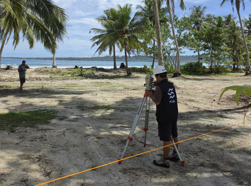
- Field Data Collection: Using advanced GPS and total station equipment, our team maps every contour and boundary with high precision.
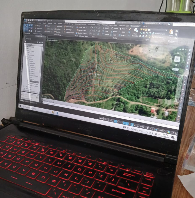
- Data Processing & Delivery: We process the data and deliver clear, ready-to-use 2D/3D maps and CAD drawings.
Know Your Land Before You Build
Get the accurate data your project demands from day one.